



Quick Facts
Name
Red River Corridor ARC Master Development Plan (ARC : Agreements for Recreation and Conservation)
Type of Landscape
Ethnographic and Natural Landscapes: 18 varied sites along a waterfront rich in heritage resources
Location
Sites follow the Red River for 60 km, from Netley Creek to the La Salle River junction
Timeline
Completed in 1995
Stewards
Province of Manitoba
Landscape Architects
Garry Hilderman, Hilderman Feir Witty & Associates (currently HTFC Planning & Design)
Legacy
Waterfront Renaissance/ Master Planning Master Planning/ Urban Design Recreation / Well-Being
Designation
The Forks: CSLA Legacy Award (2018)
Awards
National Honour Award, 1990: Celebrating 10,000 Years: A Return to the Forks of the Red and Assiniboine
National Honour Award, 1995: The Forks Commemorative Plaza (now known as Oodena Celebration Circle)
2019 CSLA Jury's Award of Excellence (Upper Fort Garry Provincial Park)

Introduction
The story of Winnipeg’s river renaissance is a story of rediscovery, shaped over decades. A half century ago, the province hired a visionary landscape architect, Garry Hilderman, to study the potential of the neglected landscapes along its Red and Assiniboine Rivers.
The young Hilderman, a Winnipeger by birth, had long recognized the city’s spiritual, environmental and cultural connection to the rivers, forged over centuries of human history. For eons, Indigenous peoples travelled the Red by canoe, heading to its junction with the Assiniboine at “The Forks”, the centre of traditional gatherings.
Like later waves of travelers in York boats and steamers, Indigenous peoples reached the Red’s waters via Netley Creek, often continuing well beyond The Forks to Métis settlements upstream, including St. Norbert 60 km to the south.
By the 1880s, the pace of immigration intensified, as the Canadian Pacific Railway brought countless Red River settlers to the Winnipeg station at The Forks. Predictably, over the next century, the Forks became the industrial hub of Winnipeg – a gritty quarter where the railway tracks all but divorced the city from its rivers.
Finally in 1973, motivated by continuing development pressures focused on prime landscapes in many Canadian centres, the Federal Government introduced a nation-wide provincial/ federal funding program for areas rich in heritage resources. Manitoba asked Garry Hilderman to produce his benchmark study of the rivers (1975), and thus began a fifty-year story of unprecedented urban regeneration and Winnipeg’s river renaissance.
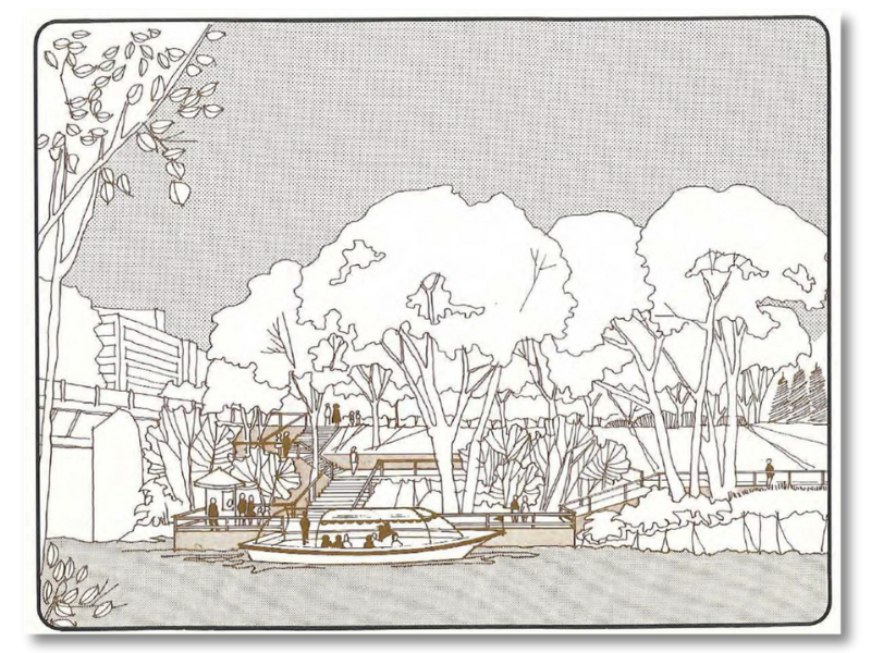
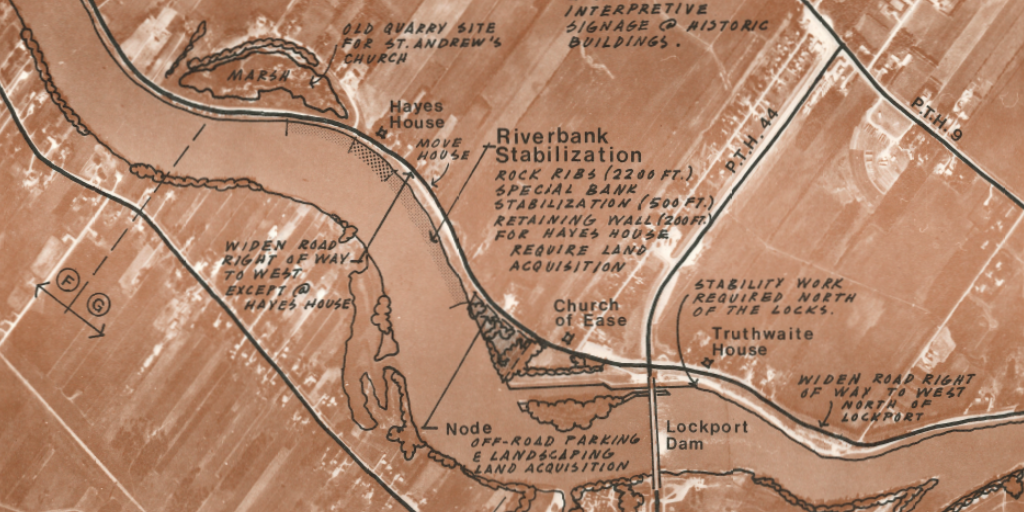
Just three years later, a Red River Corridor masterplan was underway. The masterplan nominated some 18 discrete waterfront sites for ambitious future projects: docks, parks, a River Road parkway, a Maritime museum, an historic Métis heritage park, conservation of three churches and a Trappiste monastery, an archaeological site, and of course, the now world-famous gathering centre, The Forks.
The Forks: The 6000-Year Gathering Place
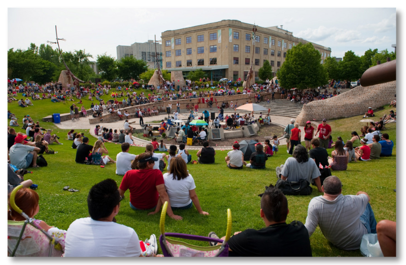
“Master plans are living documents that evolve over time,” said Ryan Wakshinski, Fellow of the Canadian Society of Landscape Architects. Today, “Winnipeg is The Forks and The Forks is Winnipeg.”
A River Awakening: The Red River Corridor and ARC
For the better part of a century, Manitoba’s historic Red and Assiniboine river corridors were largely ignored. True, these transcontinental trade routes had shaped settlement patterns in the Winnipeg region, but by the mid-1900s, the rivers’ worth was rarely acknowledged, its cultural and historic values unrecognized. In this, Manitobans were not alone. By the 1970s, choice heritage properties had become increasingly vulnerable to rampant development everywhere across the country.
In response, the Federal Government introduced the “Agreements for Recreation and Conservation (ARC) Program” in 1973. ARC offered a coordinated federal/provincial approach, intended to boost conservation and outdoor recreation planning in areas rich in heritage resources.
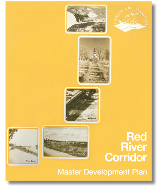
To tap into this program, Manitoba commissioned Garry Hilderman to establish a baseline for re-engagement with these waterways. His multi-volume study (1975) convinced ARC to engage Hilderman Feir Witty and Associates (now HTFC Planning and Design), to prepare a master plan for the Red River Corridor.
It was then that the first willful pioneers like Hilderman planted the roots for a sweeping, world-class transformation of the corridor, culminating at The Forks. Even then, landscape architects, planners and architects knew The Forks would become the city’s calling card, its ancient and ongoing role as a gathering place revived and renewed. But the 60 km corridor, with its wealth of nominated sites, would become a much-touted model for regeneration of waterfronts across the country.
Spurring the Renaissance of Winnipeg’s Rivers
In the 1980s, less than a decade after the Red River Corridor masterplan, Winnipeg’s attention had firmly turned to its long-neglected rivers. There was a palpable excitement in the city: a “river renaissance” was well underway.
The Masterplan pointed the way to engagement with 60 kilometers of waterfront landscapes within the corridor. The potential was enormous, engaging teams of landscape architects, ecologists, engineers, historians, recreation experts, Parks Canada staff and heritage conservation experts. Of the 18 projects recommended in the Red River Corridor master plan, Manitoba would implement 16.
While it was rare in the 70s for a landscape architectural firm to lead a project of such scale and importance, the reach and complexity of the plan’s vision spurred new creative energy. Hilderman’s firm served as technical advisors to the ARC Management group, and also designed several award-winning projects including at both Upper Fort Garry and the Forks National Historic Site of Canada.
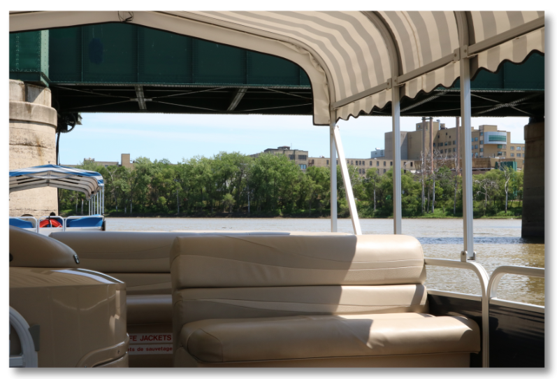
Today, the masterplan is still influencing new work in the river corridor including the St. Andrews Rectory Feasibility Study, multiple projects at The Forks and along the Forks waterfront, restoration of the Alexander Docks, and a national urban park centered on the river at Point Douglas.
Over the decades, the urban resurgence continued. Investors and developers paid attention. Dozens of initiatives took shape, from the remarkable Human Rights Museum which overlooks The Forks, to the wildly successful Warming Huts competition, which prompted international design teams to add their hut to the inventive winter structures on Winnipeg’s winter rivers. Winnipeg’s new-found pride in its rivers inspired and created wholly new opportunities for LA firms and countless others to participate in high-profile projects within the river corridors and well beyond.

The Cultural Landscapes Legacy Collection highlights the achievements that have made a lasting impact within the field of landscape architecture and on communities across Canada.