


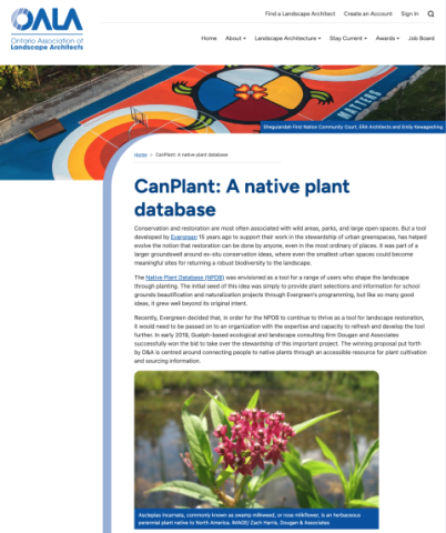
The Native Plant Database (NPDB) was envisioned as a tool for a range of users who shape the landscape through planting. The initial seed of this idea was simply to provide plant selections and information for school grounds beautification and naturalization projects through Evergreen’s programming, but like so many good ideas, it grew well beyond its original intent.
CSLA Resource Library
Welcome to the CSLA Resource Library! Explore a wide range of landscape architecture-related research, reports, tools, videos and more—searchable by keyword, topic or type.
Have a resource you'd like to see included? Contact our team to share your suggestion.
Climate Change in Nunavut
2026 – Page web
Nunavut Climate Change Secretariat
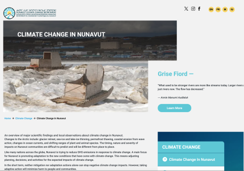
Nunavut is experiencing significant climate change impacts, including a 1.5°C rise in temperatures, more frequent storms, increased precipitation, and environmental changes like glacier retreat and permafrost thaw. These shifts affect traditional seasons, wildlife, and communities differently across the territory. To address this, Nunavut is focusing on adaptation strategies to reduce harm and adjust planning for a changing climate.
Site Carbon Assessment PowerPoint - ASLA Climate & Biodiversity Action Committee
2026 – Presentation
ASLA
Whole life carbon provides the context for tracking the embodied, operational, sequestered, and stored carbon of a site project. Presenters will introduce a new carbon assessment methodology developed by the ASLA Climate and Biodiversity Action Committee and explore its connections to larger industry initiatives, aligned with SITES v2 principles of reducing carbon emissions.
Canadian City Parks Report: Findings and Impact 2019-2024
2026 – Paper
Park People
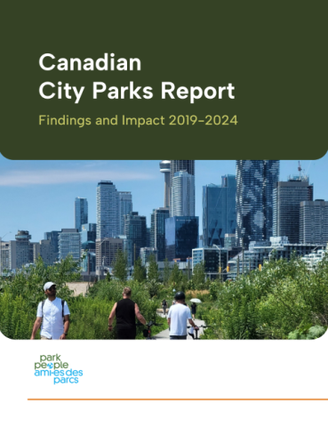
The Canadian City Parks Report (2019–2024) compiles data and insights from 46 municipalities representing nearly half of Canada’s population to examine trends in the planning, management, and use of urban parks. The report highlights how city parks have increasingly been recognized as essential public spaces, particularly following the COVID-19 pandemic, shifting from recreational amenities to critical infrastructure for mental and physical health. It synthesizes findings across multiple years to identify key challenges and opportunities in urban park systems, emphasizing the growing importance of equitable access to green space and the role of parks in supporting community well-being and resilient cities. This report equips municipal park staff, community advocates, non-profits, and the public with data and stories that make the case for parks.
Climate Change Impacts on Arctic Ecosystems and Associated Climate Feedbacks
2026 – Page web
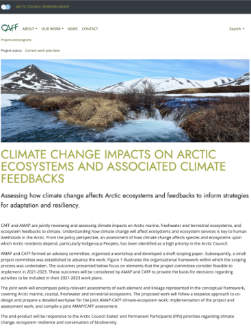
Conservation of Arctic Flora and Fauna (CAFF)
This joint AMAP–CAFF initiative assesses how climate change is affecting Arctic marine, freshwater, coastal, and terrestrial ecosystems, as well as how these systems interact with broader climate feedbacks. Thid work focuses on understanding impacts on ecosystem services and biodiversity that are essential to human livelihoods in the Arctic, with particular attention to Indigenous Peoples and other Arctic residents who depend on these environments.
Census of Environment portal
2026 – Tool
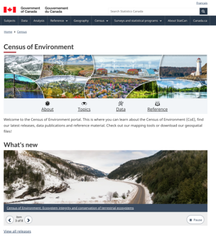
Government of Canada
The Census of Environment (CoE), developed by Statistics Canada, is a national data platform that tracks the extent, condition, and benefits of Canada’s ecosystems. It brings together geospatial data, mapping tools, and environmental indicators to provide a comprehensive picture of forests, wetlands, rivers, coastal areas, and urban ecosystems. The CoE also quantifies ecosystem services such as carbon storage, clean water, food production, wildlife habitat, recreation, and natural hazard mitigation. This platform helps illustrate how ecosystems contribute to national wealth, biodiversity, and human well-being, supporting informed decision-making about natural capital and environmental management.
Climate Change Adaptation through Land Use Planning
2026 – Paper
Province of Manitoba
The Climate Change Adaptation through Land Use Planning guide by Manitoba Local Government provides municipalities with strategies to proactively address climate change impacts through land use planning. It emphasizes the importance of integrating climate adaptation into community planning to enhance resilience to risks such as drought, flooding, and extreme weather events. The guide outlines methods for assessing local vulnerabilities, incorporating climate considerations into planning documents, and implementing adaptation strategies to ensure sustainable development in the face of climate change. It is primarily intended for municipal planners, consultants, and provincial staff involved in land use planning.
CanPlant Database: Native Plant Species Search Tool
2026 – Tool
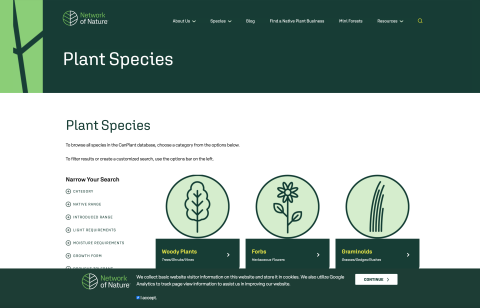
The Network of Nature
The CanPlant database is an interactive plant species search tool that allows users to explore a wide range of plant species and filter them based on ecological and environmental characteristics. Users can search by category, native or introduced range, light and moisture requirements, growth form, soil conditions, and other ecological traits such as drought, salt, and compaction tolerance.
Climate Change in New Brunswick
2026 – Page web
Government of New Brunswick
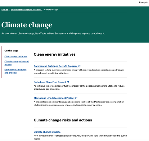
New Brunswick's climate change strategy focuses on three main pillars: reducing greenhouse gas emissions, preparing for climate impacts, and fostering community leadership. The province aims to achieve net-zero emissions by 2050, with a 46% reduction from 2005 levels by 2030. Adaptation efforts include enhancing infrastructure resilience, supporting municipalities in developing climate action plans, and addressing health risks associated with climate change. The strategy encourages public participation through tools like the Carbon Footprint Calculator and Flood Hazard Maps, aiming to build a sustainable and resilient future for all New Brunswickers.
Clean Air Calculator
2026 – Tool
Canadian Nursery Landscape Association’s Climate Adaptation Committee
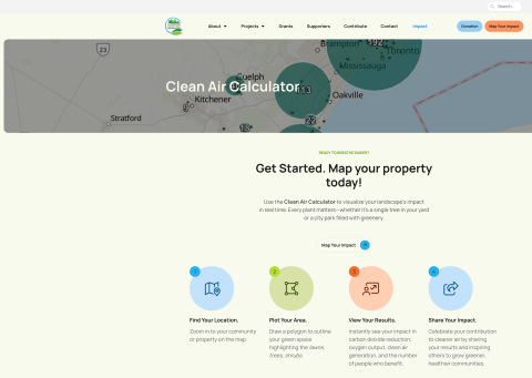
Developed through the Canadian Nursery Landscape Association’s Climate Adaptation Committee, this tool uses ArcGIS mapping software to visualize the environmental value of urban greenery. The underlying science draws from government and academic research, including the U.S. Forest Service, University of Guelph, and Natural Resources Canada.It’s designed for everyone—from students to city planners—to understand, in clear and simple terms, how green spaces make cities more livable.
Landscapes | Paysages: Trails + Tribulations, vol 28, no. 3
2026 – Landscapes | Paysages Magazine
CSLA/AAPC
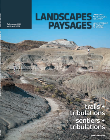
"At their most elemental, trails can arise organically, tracing repeatedly travelled routes, without formal planning or design intervention. Yet, as the stories in this issue demonstrate, trails can also be complex, meaningful projects that ask a great deal of landscape architects."
– Patrick Beech + Daniel Scott, Guest Editors
Biodiversity Net Gain (BNG)
2026 – Page web
Natural England
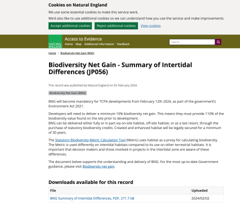
Biodiversity Net Gain (BNG) is a government policy introduced under the Environment Act 2021 that requires most Town and Country Planning Act (TCPA) developments to deliver a measurable improvement in biodiversity. Since February 12th, 2024, it has been mandatory for developers to achieve a minimum 10% net gain, meaning projects must result in at least 110% of the pre-development biodiversity value of a site. BNG can be delivered through on-site habitat creation or enhancement, off-site habitat provision, or through the purchase of statutory biodiversity credits.